Description
On the maps of seventeenth-century Europe, national borders were not the clear lines familiar to us today, but rather a complex network of duchies, principalities, bishoprics, free cities, and royal territories. Atlas Maior of 1665: Germania, Austria & Helvetia presents, in two large-format volumes, the complete maps of the German lands, Austria, and Switzerland from the monumental Atlas Maior, completed in 1665 by the Dutch cartographer Joan Blaeu. Featuring 124 color maps, this set not only records the geographical and political structures of Central Europe at the time, but also preserves the Baroque era’s visual imagination of the world, power, and knowledge.
Joan Blaeu came from one of the most influential mapmaking and publishing families of the seventeenth century, and also served as the official cartographer of the Dutch East India Company. His original Latin edition of Atlas Maior consisted of eleven volumes and included nearly 600 maps. It is regarded as one of the most ambitious and lavishly produced atlases in the history of European cartography and publishing. For readers of the time, maps were not merely practical tools for identifying routes and borders, but also a way to understand world order, local history, and political power.
The “Germania” presented in this set does not correspond exactly to the borders of modern Germany. Instead, it encompasses the many independent yet interconnected territories within the Holy Roman Empire. From Bavaria, Saxony, Brandenburg, Pomerania, Württemberg, and the Palatinate to Bohemia, Moravia, Silesia, and the Rhine region, readers can see through these maps a Central European world not yet reshaped by the modern nation-state. The second volume further extends to Austria, the Alpine regions, and the Swiss Confederacy, revealing the intricate and multilayered relationships among mountains, river valleys, cities, administrative territories, and historical regions.
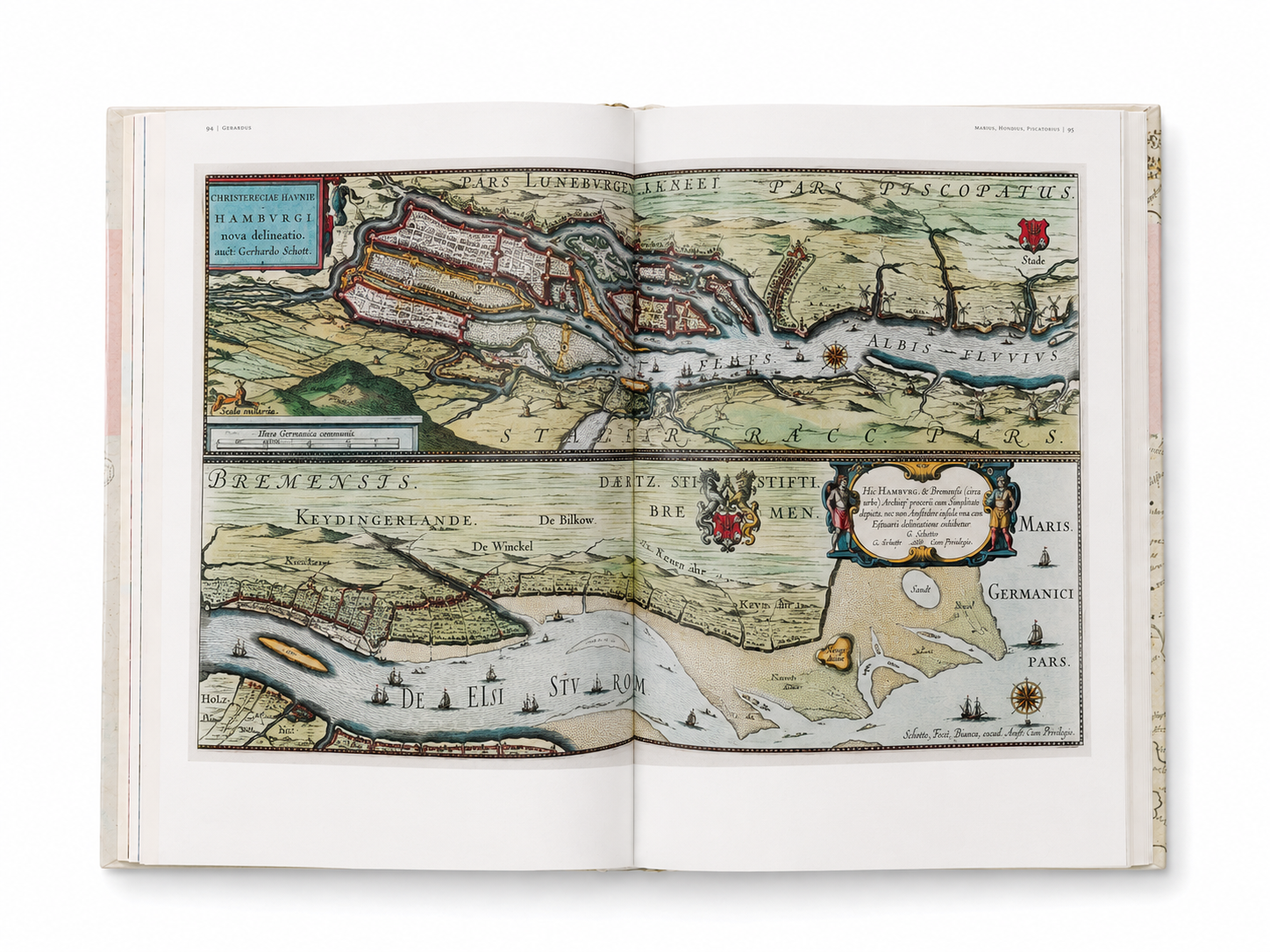
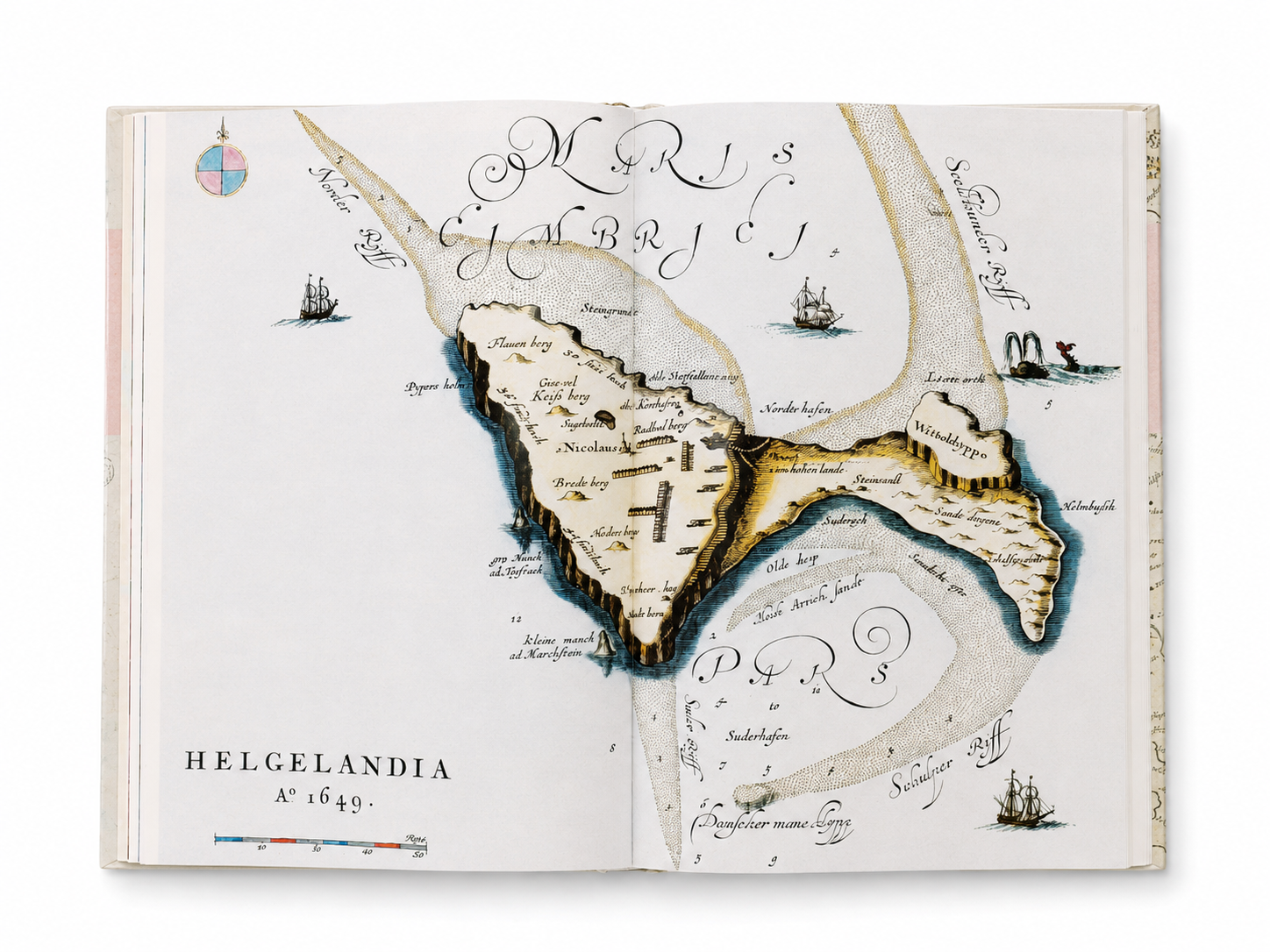
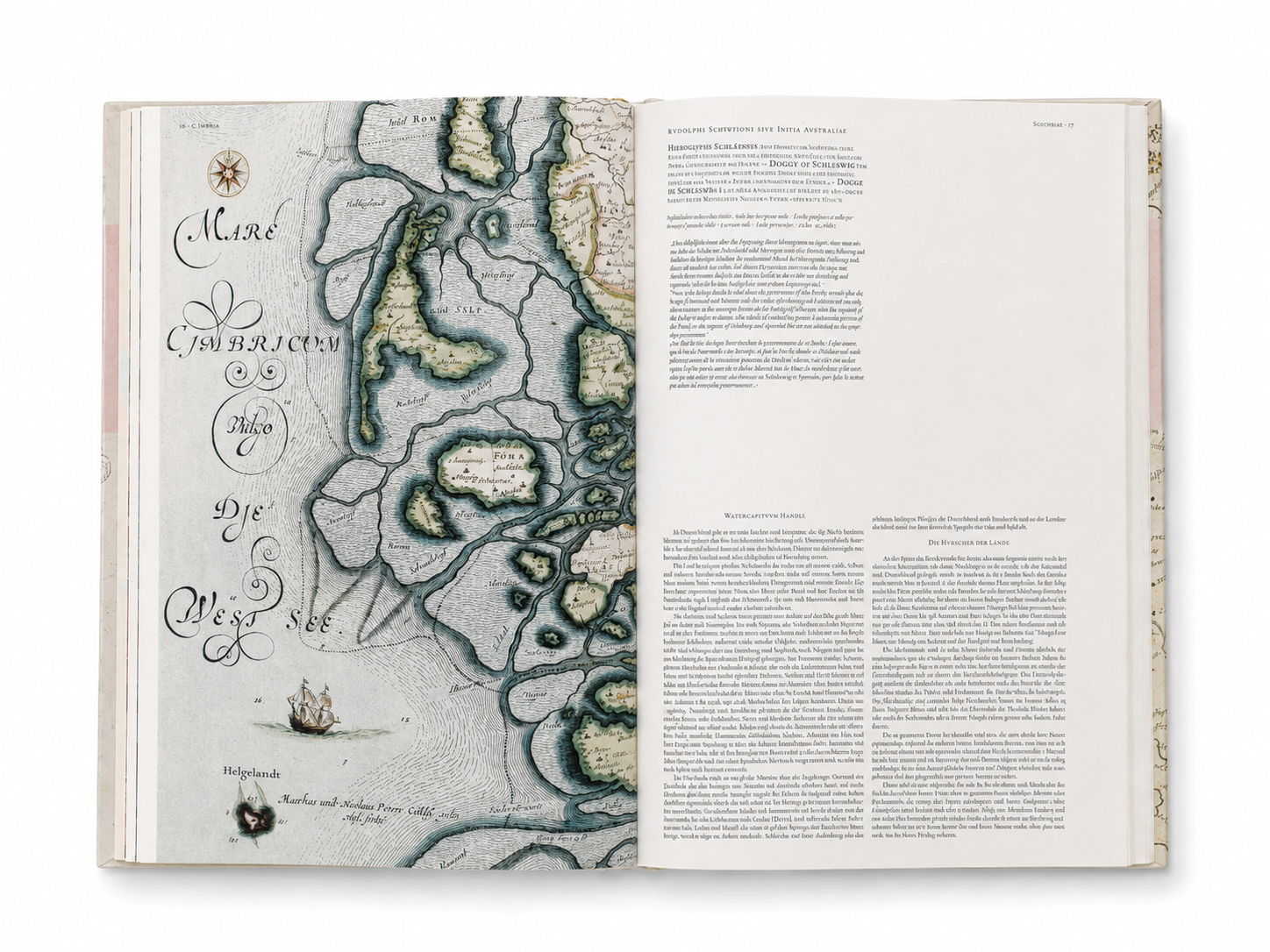
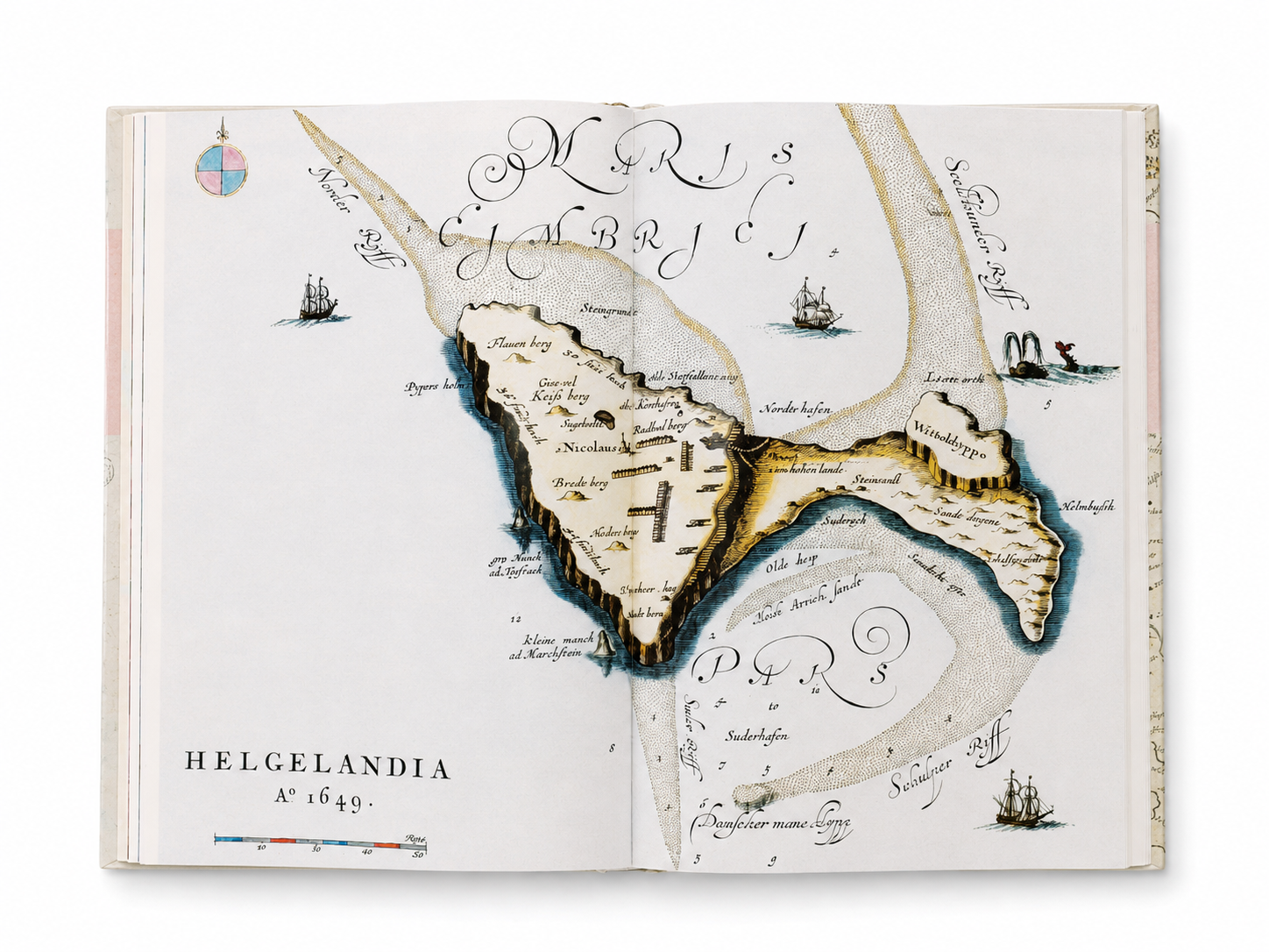
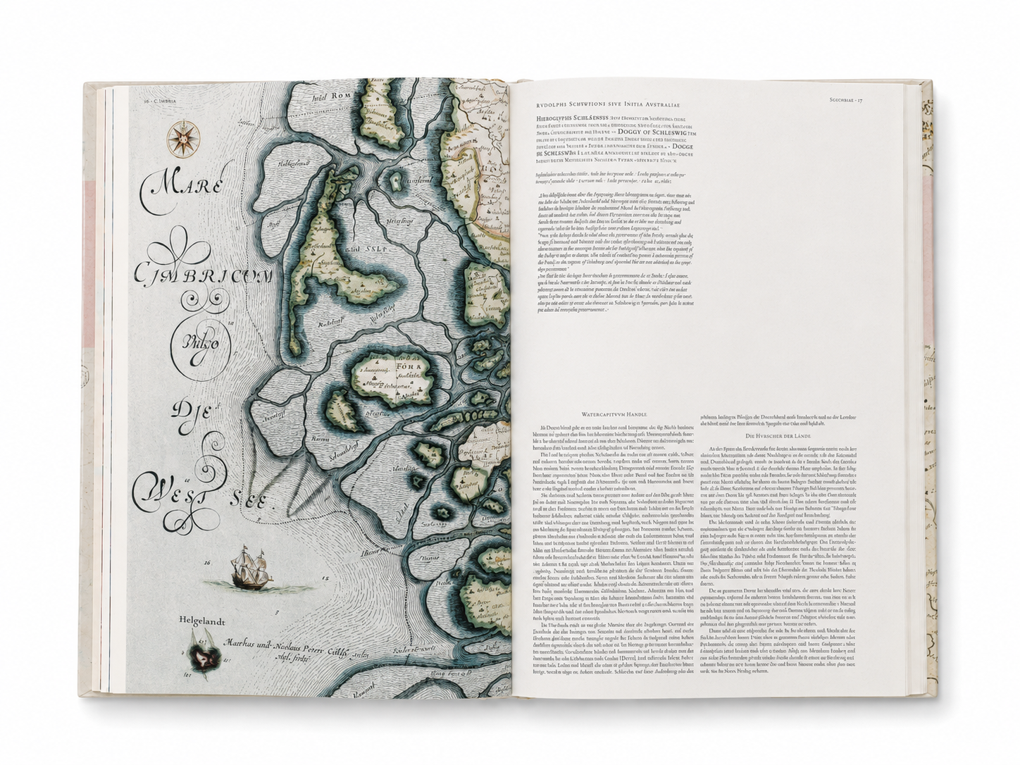
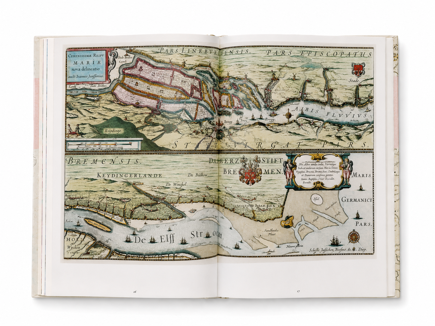
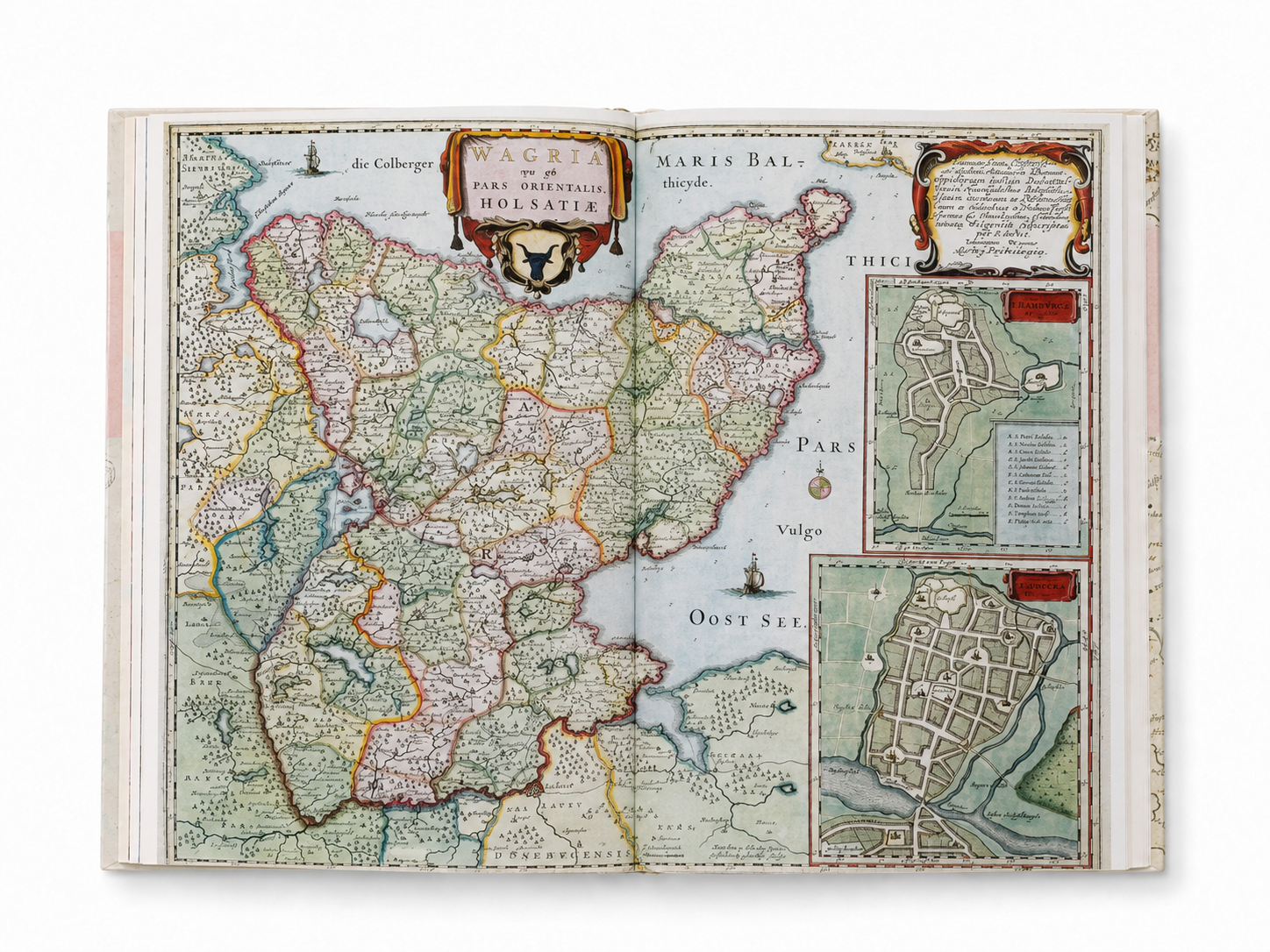
These maps are also highly refined works of visual art. Winding rivers, layered mountain ranges, forests, and settlements unfold through delicate engraved lines and color. Around the maps are decorative coats of arms, figures, ships, mythological imagery, and ornate Baroque title cartouches. Geographic information and decorative art are interwoven on the page, making each map both a historical document and a work that demonstrates the power of printing, engraving, layout, and visual storytelling.
This TASCHEN edition is based on the hand-colored copy preserved in the Austrian National Library. It brings together the maps related to Germania, Austria, and Switzerland, with an introduction and commentary by Dutch cartographic historian Peter van der Krogt, as well as selected passages from Joan Blaeu’s original geographical texts. Through modern printing techniques, the colors, lines, and decorative details of the original work are reproduced on large-format pages, allowing readers to closely appreciate the almost unimaginable complexity of seventeenth-century mapmaking.
Atlas Maior of 1665: Germania, Austria & Helvetia is not merely a historical atlas depicting Germany, Austria, and Switzerland. It records the political landscape before the formation of modern Europe, and shows how maps could serve as carriers of power, knowledge, and aesthetic expression. For collectors of antique maps, scholars of European history, graphic designers, illustrators, and readers interested in print and visual culture, this set is an important collection of both historical depth and visual impact.
The complete set is divided into two volumes: the first volume, Germania, and the second volume, Germania, Austria & Helvetia. Presented in large-format hardcover, it contains 124 color maps and comes with a slipcase for preservation. This regional edition, published in 2006, is now mainly found in the secondhand and antiquarian book market. With its comprehensive regional coverage, impressive physical scale, and refined printing, it is not only an atlas to read, but also a paper world worthy of long-term collection and repeated viewing.
Details
Author: Joan Blaeu, Peter Van Der Krogt
Publisher: TASCHEN
Publication Year: 2006
Size: 38 × 25 cm
Binding: Hardcover
Pages: 420 pages