Description
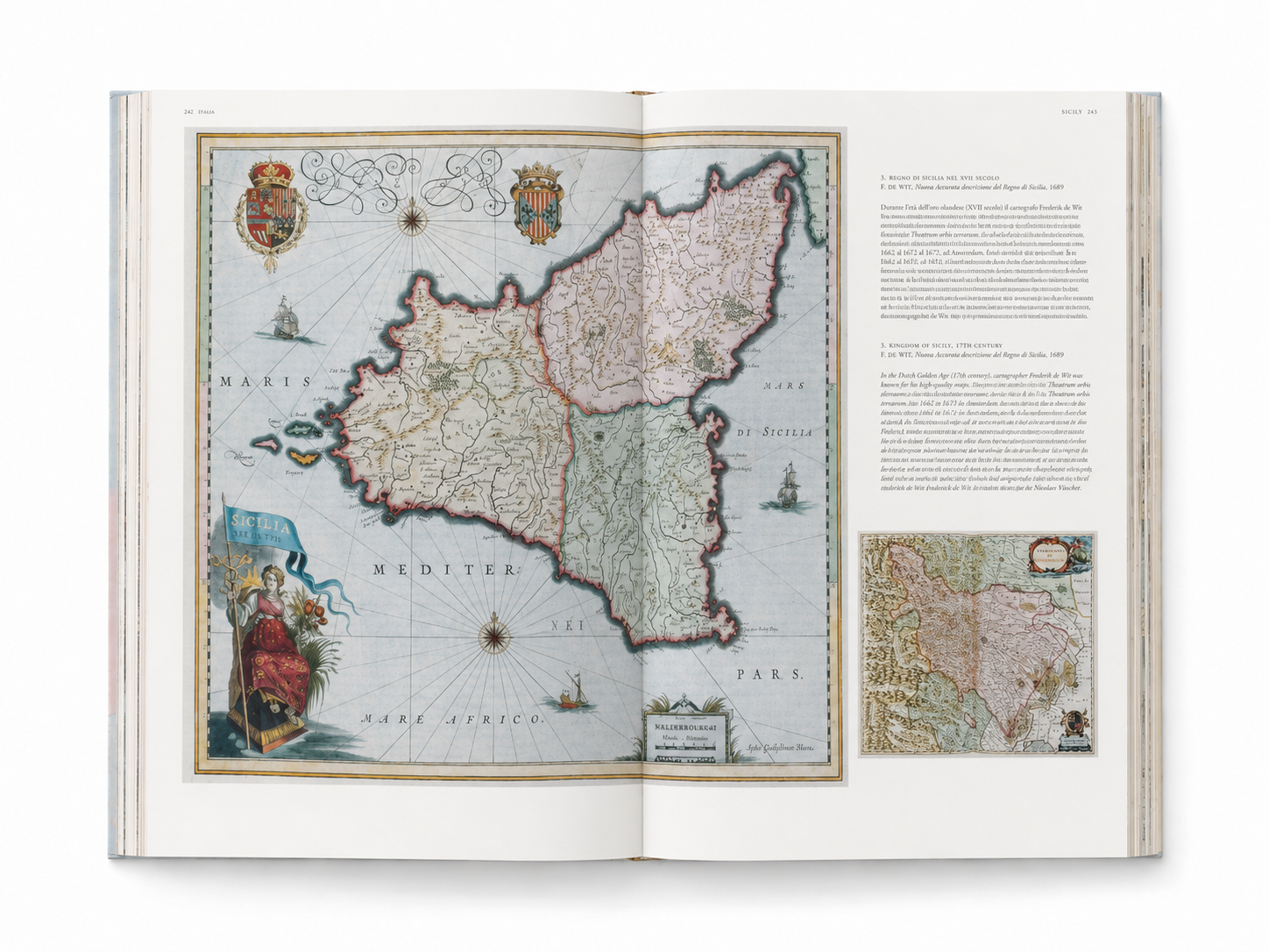
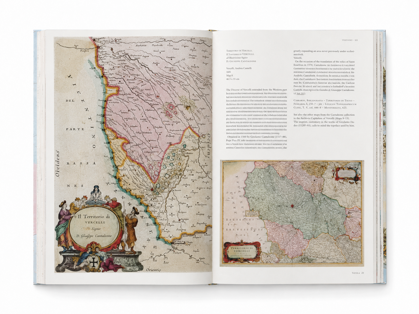
Seventeenth-century Italy was not the unified modern nation defined by the borders we know today, but a political landscape composed of republics, duchies, kingdoms, papal territories, and city-states. Venice, Genoa, Tuscany, the Papal States, and Naples each possessed their own centers of power, cultural traditions, and geographic domains. Through 60 color maps, Atlas Maior of 1665: Italia recreates an Italy that had not yet been unified—one rich in regional diversity and urban rivalry.
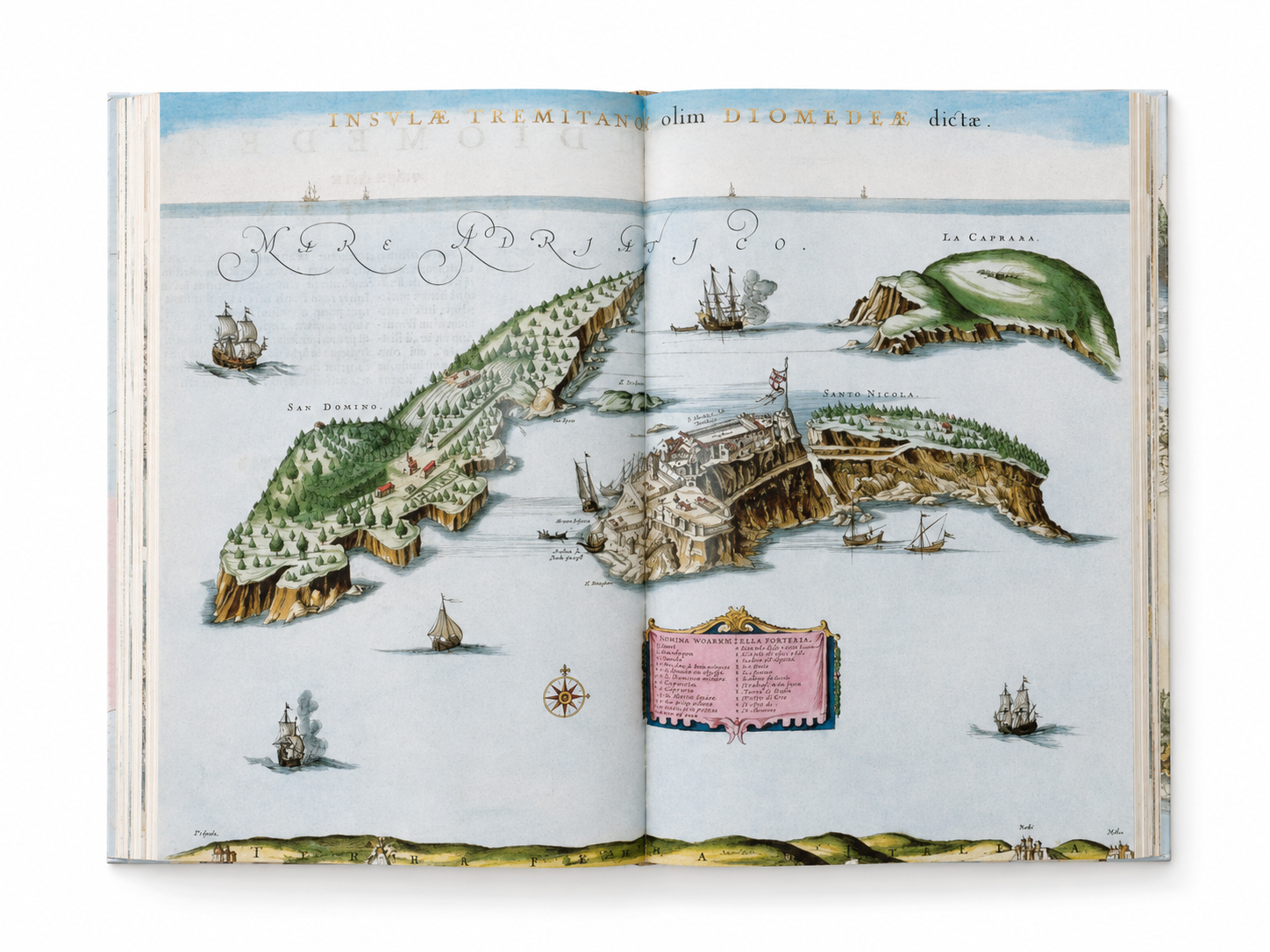
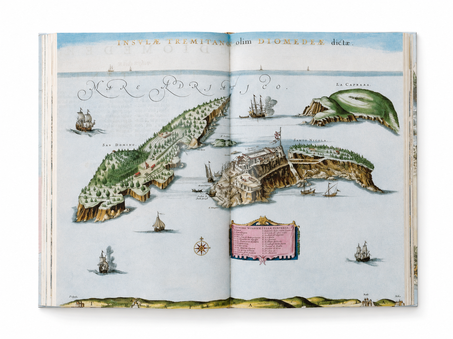
This volume is selected from Atlas Maior, completed in 1665 by the Dutch cartographer Joan Blaeu. Comprising eleven volumes and nearly 600 maps, this monumental work is regarded as one of the defining achievements of cartographic art and publishing craftsmanship during the Dutch Golden Age. Blaeu recorded not only cities, mountains, rivers, and coastlines, but also political territories, local histories, coats of arms, and mythological allegories, allowing geographical knowledge and symbols of power to coexist on the same printed page.
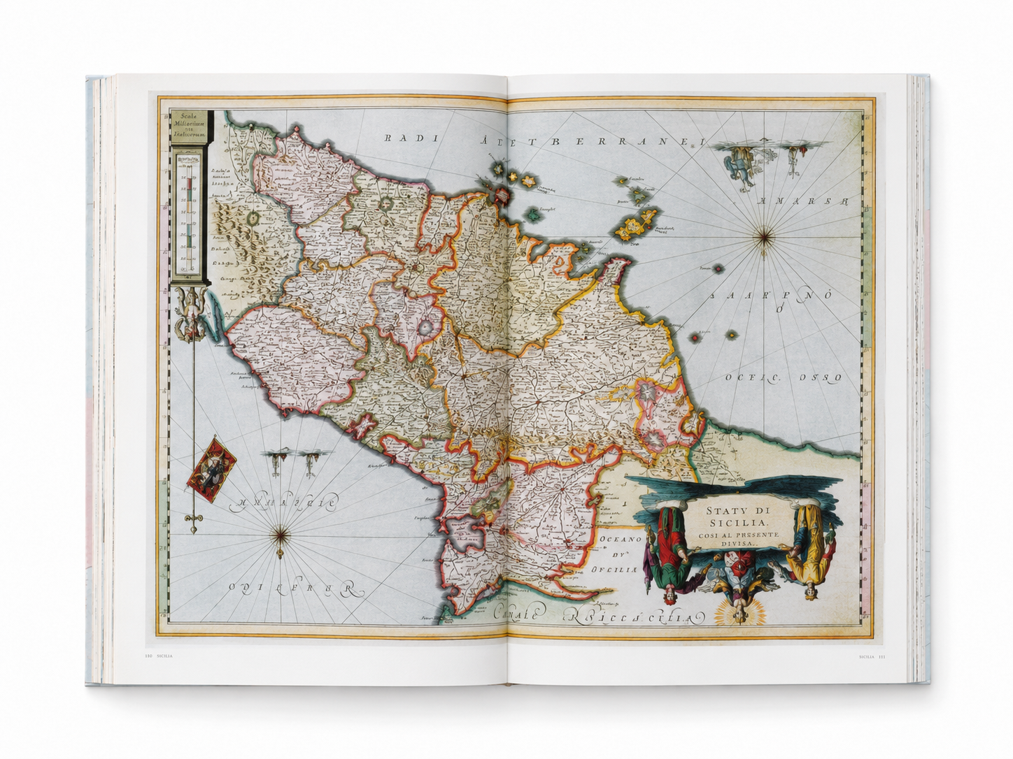
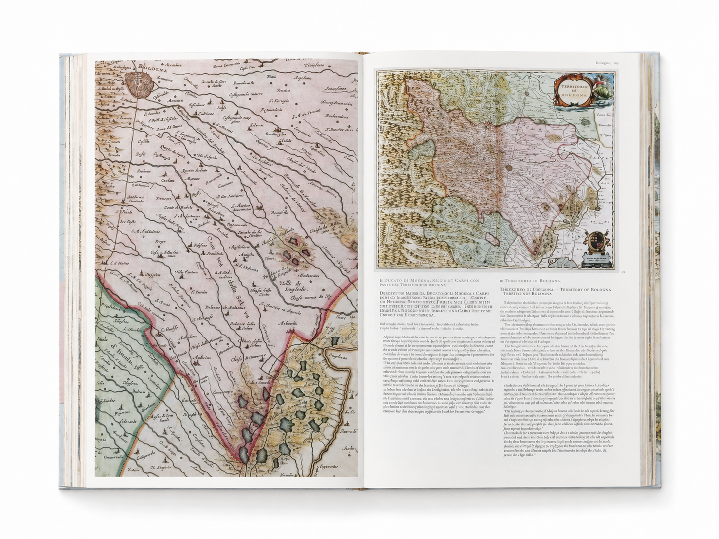
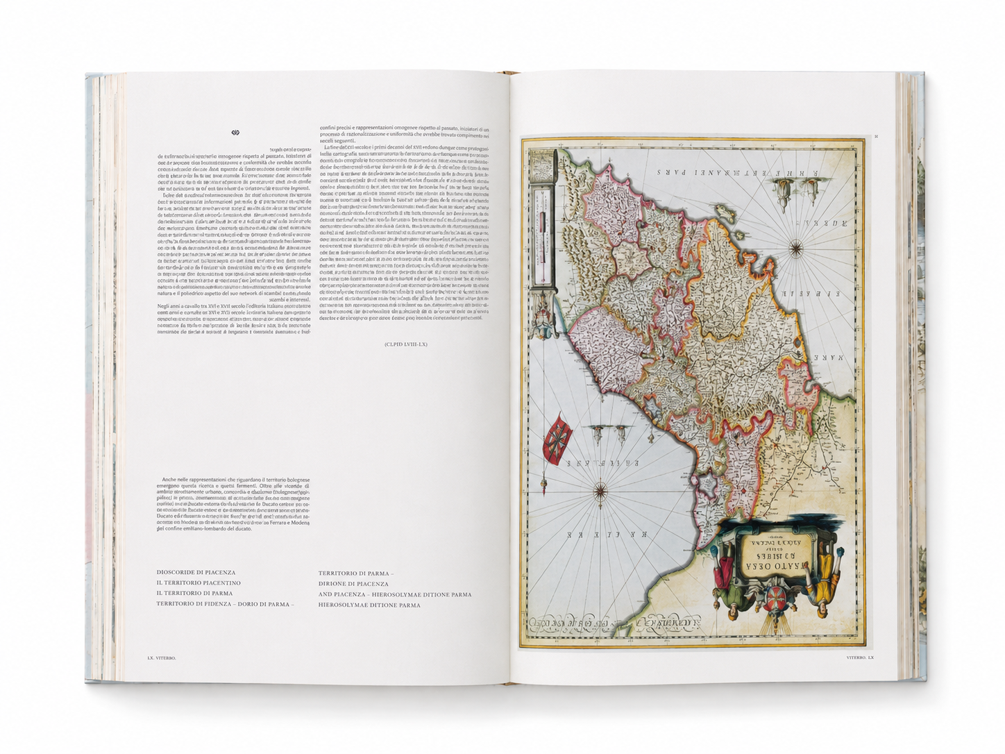
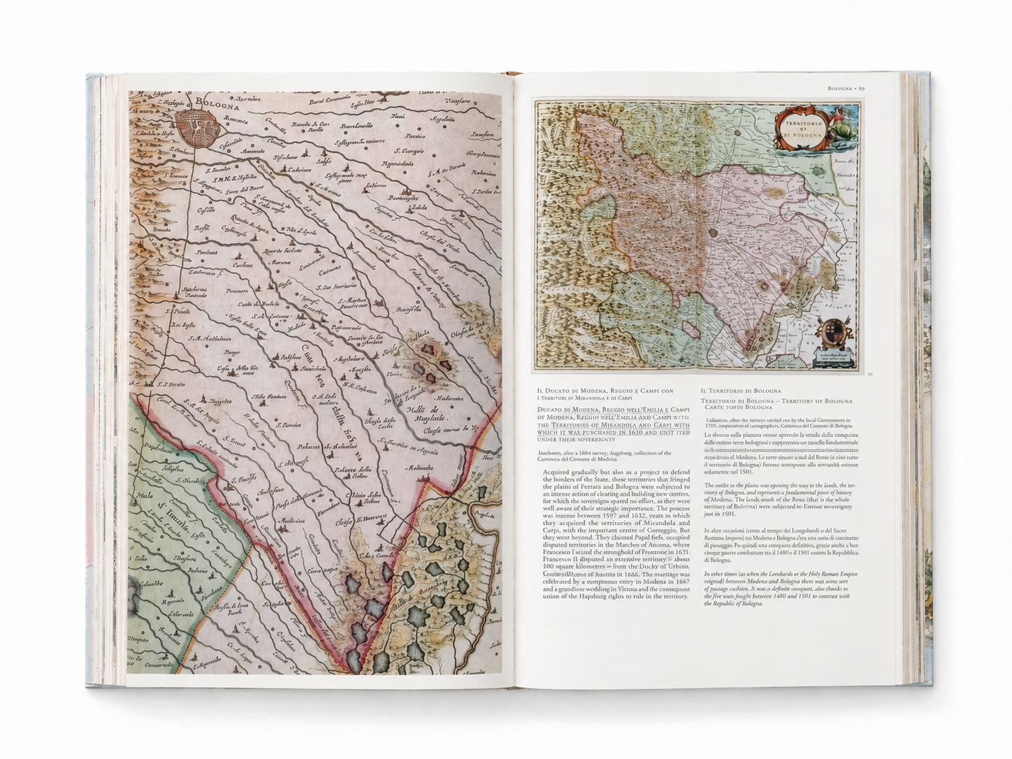
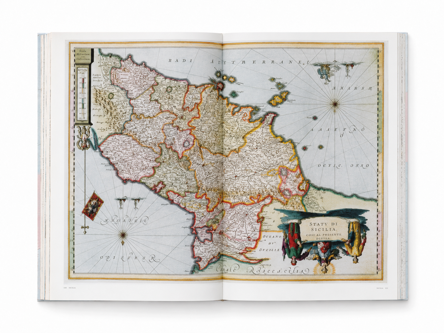
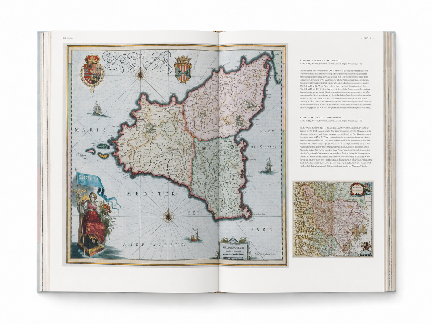
The Italy presented in this book unfolds from north to south: from the southern side of the Alps, Lombardy, and the Po Valley, extending to the Republic of Venice, the Ligurian coast, Tuscany, the central Papal territories, and the Kingdom of Naples, before reaching Sicily, Sardinia, and the surrounding waters of the Mediterranean. These maps preserve borders, regimes, and historical place names that have since disappeared, revealing the political geography that existed before the formation of modern Italy.
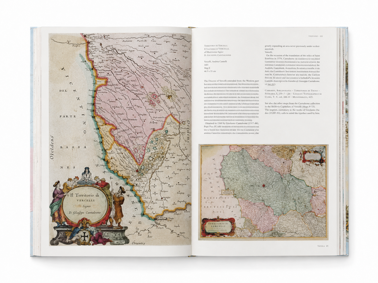
Each map is also a refined work of Baroque visual art. Delicate engraved lines depict mountains, rivers, and settlements; colors distinguish territories and regions; while ornate title cartouches, city coats of arms, allegorical figures, ships, and compass roses elevate the maps beyond mere practical function. They are at once geographical documents and media through which rulers and publishers displayed knowledge, order, and cultural imagination.
This edition is based on the hand-colored copy of Atlas Maior preserved in the Austrian National Library, with an introduction and map commentary by cartographic historian Peter van der Krogt. Its large-format pages faithfully present the lines, colors, and decorative details of the original, allowing readers to closely appreciate the remarkable achievements of seventeenth-century mapmaking, engraving, and printing.
Atlas Maior of 1665: Italia is not merely a historical atlas of Italy, but a visual archive of borders, cities, power, and ways of seeing. Turning its pages is like entering a museum made of paper, where the familiar outline of the Italian peninsula reveals a world that is at once unfamiliar, intricate, and endlessly fascinating.
Details
Author: Peter Van Der Krogt, Joan Blaeu
Publisher: TASCHEN
Publication Year: 2006
Size: 39 × 20 cm
Binding: Hardcover